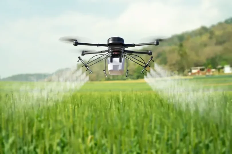
Walking 1,000 acres to spot stressed crops wastes days. By the time you see the problem, you’ve lost yield. Modern agriculture custom software development solutions, coupled with drones survey that same acreage in under an hour and catch issues your eyes can’t see. Here’s what the data can tell you.
1. NDVI Maps Show Plant Health Before Your Eyes Can
NDVI (Normalized Difference Vegetation Index) measures how plants reflect light. Healthy plants absorb red light for photosynthesis and reflect near-infrared. Stressed plants do the opposite.
Formula: (NIR – Red) / (NIR + Red)
Values range from -1 to +1:
- Above 0.6: Healthy, dense vegetation
- 0.4-0.6: Moderate health
- Below 0.4: Stressed or sparse coverage
Practical application:
| NDVI Range | Interpretation | Action |
| 0.2-0.4 | Bare soil or severe stress | Investigate immediately |
| 0.4-0.6 | Moderate stress | Check irrigation/nutrients |
| 0.6-0.8 | Healthy vegetation | Monitor normally |
| 0.8-1.0 | Peak health | No action needed |
Red and yellow zones on your NDVI map aren’t just “problem areas.” They’re specific issues:
- Uniform yellowing across rows: nitrogen deficiency.
- Patches near field edges: irrigation issues.
- Random scattered spots: pest or disease.
- Streaks following equipment paths: compaction.
Each pattern requires a different action. Variable-rate application based on NDVI data cuts fertilizer costs 10-15% without hurting yield.
2. Thermal Imaging Catches Water Stress Days Early
Plants transpire to cool themselves. When water-stressed, they close stomata and retain heat. Thermal cameras detect 2-3°C temperature differences invisible to your eye.
Incorporating drone data into crop management strategies not only enhances efficiency but also optimizes resource allocation. By analyzing aerial imagery, farmers can pinpoint areas requiring specific attention, such as nutrient deficiencies or pest infestations. This precision allows for targeted interventions, reducing waste and improving yield quality. Collaborating with a trusted Fertilizer Supplier ensures that the right nutrients are applied at the right time, further enhancing crop health. As technology continues to evolve, integrating these insights with traditional farming practices will be crucial for sustainable agriculture. Embracing these innovations can lead to more informed decisions, ultimately fostering a more resilient and productive farming ecosystem.
The Crop Water Stress Index (CWSI) calculates stress levels. Drones flying at 400 feet map entire fields in minutes, showing exactly which zones need irrigation.
GNDVI (Green NDVI) imagery showed moisture-starved streaks where GNDVI fell below 0.45. They corrected the nozzle flow in those specific zones. As a result, you get uniform tillering and full heads at harvest instead of thin spots.
The data guides three decisions:
- When to irrigate (before visible wilting)
- Where to irrigate (zone-specific, not blanket coverage)
- How much to irrigate (calculated from stress levels, not guesswork)
Water savings average 15-20% while maintaining or improving yield.
3. Multispectral Analysis Predicts Yield Weeks Before Harvest
NDVI is a solid mid-season indicator, but it stops being precise when you need yield predictions. That’s where multispectral analysis, combining several vegetation and structural indices, becomes far more powerful.
NDVI measures “greenness,” which helps track vigor. But early growth and yield formation involve factors NDVI misses — like chlorophyll concentration and canopy structure.
CIG (Chlorophyll Index Green):
- Tracks photosynthetic capacity in young plants.
- More sensitive than NDVI during early growth.
- Example: A 7-minute drone flight over 8.47 acres at Babe Farms (CA) generated full CIG maps of baby lettuce, highlighting nutrient differences across the field.
High CIG = strong nitrogen uptake and healthy growth
Low CIG = possible nutrient deficiency, water stress, or early disease
Models that combine multiple data sources improve accuracy further.
Core Inputs in Fusion Models
| Input | What It Captures |
| NDVI | Vegetative vigor |
| NDYI (Yellowness Index) | Stress that shows in yellowing leaves |
| LiDAR Canopy Height | Physical structure and biomass |
| RGB Canopy Coverage | Surface health and density |
| Time-Series Across Growth Stages | Development trends over time |
4. Disease and Pest Detection Through Spectral Signatures
Pests like bean leaf beetles and aphids trigger small pockets of stress before leaves show visible damage. Multispectral imagery picks up those early signals. NDVI dips appear as light yellow patches in the canopy map long before you’d catch anything during a field walk.
Different problems create different spectral signatures:
- Fungal diseases: Reduce chlorophyll, show as declining green reflectance (CIG drops first, then NDVI).
- Insect damage: Creates patchy stress patterns, temperature anomalies from feeding activity.
- Viral issues: Uniform yellowing patterns, distinct from nutrient deficiency by distribution.
Research on wheat shows NDVI correlations with leaf area index (LAI) and leaf nitrogen content (LNC) at R² = 0.78-0.86 at flowering, improving to 0.88-0.90 at grain filling. When those correlations break (when NDVI drops faster than expected), it signals disease or pest pressure.
The workflow that works:
- Fly weekly during the peak growing season.
- Compare the current NDVI to the baseline from healthy reference plots.
- Flag zones showing >15% NDVI decline week-over-week.
- Ground-truth flagged areas (walk those GPS coordinates).
- Apply targeted treatments to confirmed issues.
Treating 5-10% of the field area instead of blanket applications cuts pesticide spend by 40-60%.
5. Soil Variability Mapping Enables Precision Planting
RGB orthomosaic maps show bare soil color variation. Multispectral adds moisture content, organic matter estimates, and texture differences. LiDAR adds elevation and drainage patterns.
Combined, these create management zones, areas of similar soil characteristics that respond similarly to inputs.
Implementations include:
- Sandy hilltops get adjusted seeding rates (higher population, drought-tolerant hybrids).
- Heavy clay low spots get drainage solutions and different varieties.
- Midslope zones get standard prescriptions.
Digital surface models (DSMs) from drone LiDAR show:
- Water flow patterns (where does rain pool?)
- Erosion risk zones (slopes over 8%)
- Optimal drainage tile placement
- Variability in topsoil depth
One wheat variety trial used canopy height mapping to assess development. Height differences of 15-20cm between zones indicated soil productivity variation. Variable-rate seeding based on this data improved uniformity and boosted yield 8-12% in lower-productivity zones.
The prescription workflow:
- Create a base soil map from multispectral + LiDAR data.
- Validate with targeted soil sampling (drone data shows where to sample).
- Generate management zones (3-5 zones per field, typically).
- Build variable-rate prescriptions for seed, fertilizer, and chemicals.
- Export shapefiles to equipment controllers.
- Validate results with mid-season NDVI monitoring.
Start Here
Start with basic NDVI before adding complexity. Master one index, validate it against ground truth, then expand to CIG, thermal, and multi-index fusion. Companies achieving the best results validate each capability before scaling.